
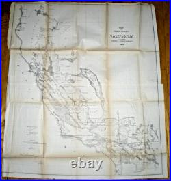
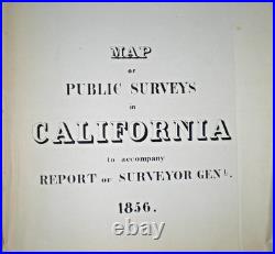
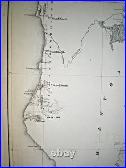
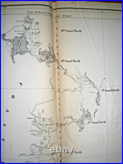
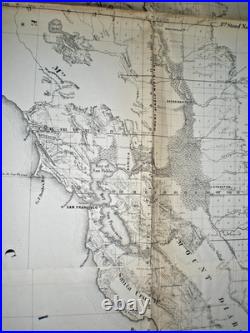
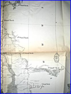
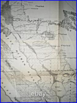


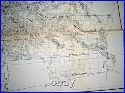
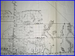
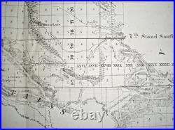
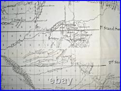

Original 1856 lithographic map documenting the early progress of United States government land management, baseline grids, and confirmed Mexican Ranchos across California. Approved on September 30, 1856, by John Coffey Hays U. Surveyor General for California, this large-scale historical document was originally distributed via the 34th Congress, 3rd Session administrative filings. This map features detailed hachures depicting regional topography, expanding Gold Rush-era towns like San Francisco and Los Angeles, county lines, major drainage basins, and active federal land offices. Crucially, this 1856 edition represents the very first state of the survey map to visually record confirmed private land grants (Mexican Ranchos) following judicial validation after the Mexican-American War. This original uncolored map is in good, frameable condition. The paper remains bright with only minor, expected light paper wrinkling characteristic of mid-19th-century government-issued documents. As is typical for large folding maps from this era, it features minor splits along the original fold lines and joints; these have been neatly stabilized and mended on the reverse side using professional archival tape. There is some paper toning along some of the fold lines. Cartographer/Approver: John Coffey Hays (Surveyor General’s Office, San Francisco). Approximate Sheet Size: 32 x 36 inches. Scale: 1 inch to 18 miles. Type: Authentic Antique Lithograph (Not a modern reproduction).