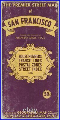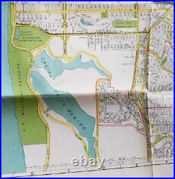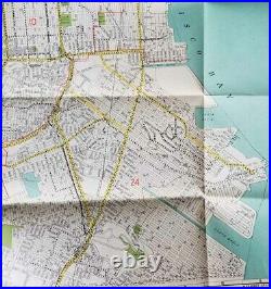


The Premier Street Map of San Francisco. House Numbers Transit Lines Postal Zones Street Index Etc. Author: CALIFORNIA – SAN FRANCISCO Title: The Premier Street Map of San Francisco. Description: Gross, Alexander FRGS (mapmaker). Color street map, 24 1/4 x 29 3/4 inches on sheet size 26 x 41 inches, folding as issued into single paper folder, 9 1/4 x 4 1/2 inches. San Francisco Produced under the direction of Alexander Gross. Street Index and Postal Zone Numbers listed in right margin of sheet. Map shows Car Lines, Bus Lines, Cable Lines, Main Auto Routes, House Numbers, Playgrounds, Postal Zone Boundaries, and Postal Zone Numbers Shown in Red. Light wear to covers, crease to upper right edge of map (appears to be as issued), short separation at two fold intersections, otherwise very good, clean condition. An interesting undated map, pre-dating the Embarcadero Freeway with the recent reclamation of the Hunter’s Point / South Basin area now mapped with street names. Unlike maps of the 1940s there are no golf clubs located in the Laguna de la Merced area. Subject: Ephemera, Maps, United States. Our stock ranges in date from the 1600s to the 1950s – great design is not limited by date! We have been in business since 1981, and have thrived on or survived! The many changes in the book and antique world. Our business is web based in Portland, Oregon, USA; we also exhibit at several shows a year. Owner Elisabeth Burdon is a member of the Antiquarian Booksellers Association of America, an affiliate of the International League of Antiquarian Booksellers and a member of the Ephemera Society of America and the American Historical Print Collectors Society. For sales within the U. Will calculate and add the applicable. This listing was created by Bibliopolis. This item is in the category “Collectibles\Paper\Ephemera\1940-59″. The seller is “oldimprints” and is located in this country: US. This item can be shipped to United States.

