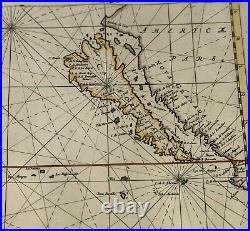
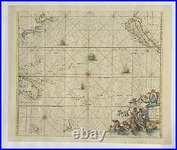
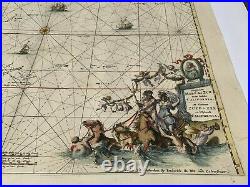
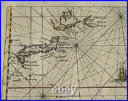
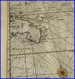
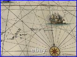


Magnum Mare del Zur cum Insula California / De Groote Zuyd-Zee en’t Eylandt California. California as an island. One of the earliest obtainable sea charts of the Pacific Ocean. One of the best Pacific Ocean Maps of the period. This finely engraved sea chart was first published in De Wit’s Orbis Maritimus ofte Zee Atlas in 1675. This map shows California as an Island and important early projections of Australia and New Zealand, showing information from Tasman’s two voyages in 1642-3 and 1644. The early discoveries by the Dutch on the northern coast of Australia and New Guinea reflect the prevailing opinion that the two were connected. Van Diemens Land is shown, as is the west coast of New Zealand. Decorated with 4 sailing ships, compass rose, rhumb lines and a striking cartouche, with Magellan’s portrait. 22 x 19.5 inches. Condition: A fine colored example with minor wrinkling, light pencil notation on back side (may be erased), otherwise very good to near fine. The item “De Wit 1675 Magnum Mare del Zur California as an Island First State” is in sale since Wednesday, August 19, 2020. This item is in the category “Antiques\Maps, Atlases & Globes\North America Maps”. The seller is “fastercomputing” and is located in Gaithersburg, Maryland. This item can be shipped worldwide.
- Cartographer/Publisher: Frederik de Wit
- Printing Technique: Copper Plate
- Original/Reproduction: Antique Original
- Format: Atlas Map
- Type: Nautical Map
- Year: 1675
- US State: Pacific Ocean
- City: San Francisco
- Date Range: 1600-1699
- Country/Region: United States of America

